
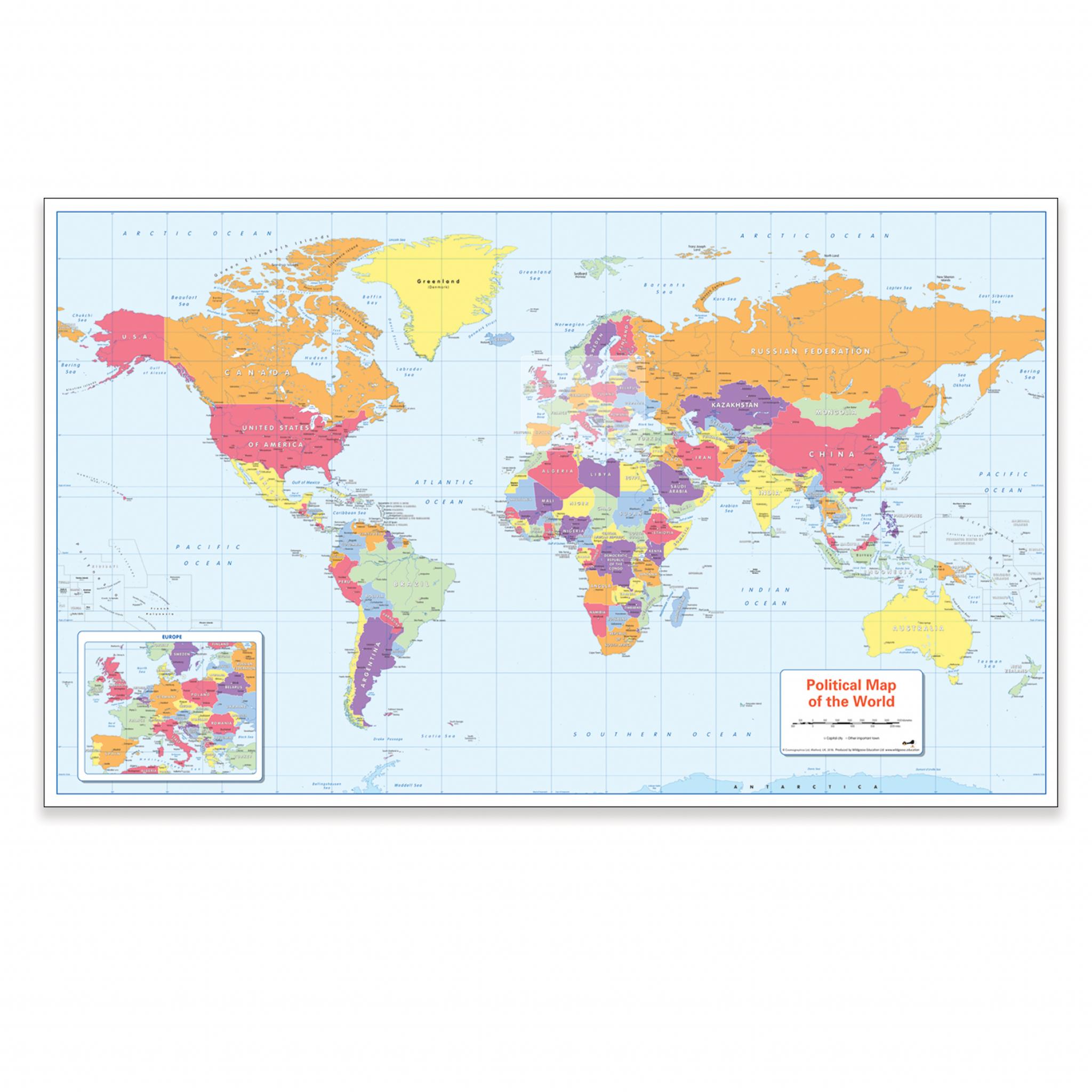
ColourBlind Friendly World Political Map
Teach or learn about our world with this colourful, easy to read children's world map showing the countries, main cities and towns.
The map also includes the oceans and seas, tropics and the equator, rivers and the International date-line.
It is ideal for the home or classroom as our colours work for everyone, including those with a form of colour vision deficiency (CVD).
There is likely to be at least one child in every classroom that is colour blind.
Description
Teach or learn about our world with this colourful, easy to read children's world map showing the countries, main cities and towns.
The map also includes the oceans and seas, tropics and the equator, rivers and the International date-line.
It is ideal for the home or classroom as our colours work for everyone, including those with a form of colour vision deficiency (CVD).
There is likely to be at least one child in every classroom that is colour blind.
Specifications
Findel
Geography